


-

SVEEP
-

Smt. Droupadi Murmu takes oath as 15th President of India
-
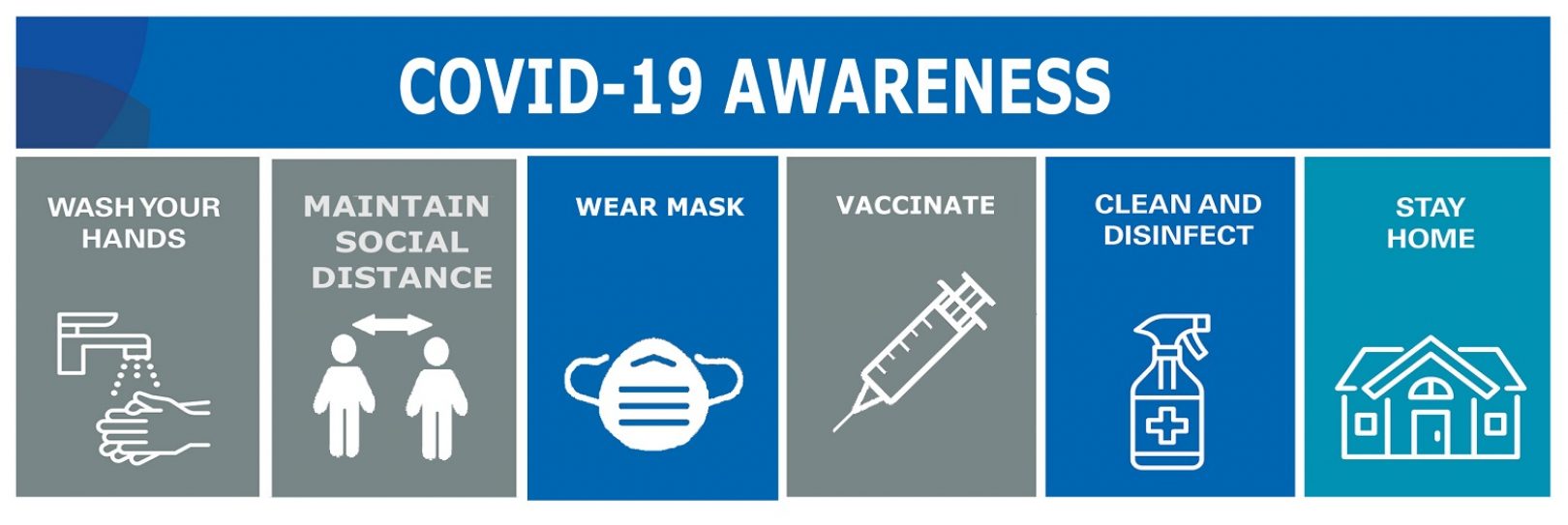
COVID-19 Awareness
-

Participate in the Dekho Apna Desh People’s Choice Poll
-

NIC Driving the Digital Transformation
-

Digital Agriculture Platforms
-

Next-gen Fin-tech Solutions
-

Health-Tech Innovative Solutions
-

Empowering the future of education with Edu-tech Solutions
About us
National Informatics Centre (NIC) is a premiere S&T; institution of the Government of India, established in 1976, for providing e-Government/e-Governance Solutions adopting best practices, integrated services and global solutions in Government Sector. In 1975, the Government of India strategically decided to take effective steps for the development of information systems and utilization of information resources and also for introducing computer based decision support system (informatics-led development) in government ministries and departments to facilitate planning and programme implementation to further the growth of economic and social development. Following this,the Central Government nucleated a high priority plan project “National Informatics Centre (NIC)” in 1976, and later on with the financial assistance of the United Nations Development Programme (UNDP) to the tune of US$4.4 million. NIC has played an important role of an…
Events
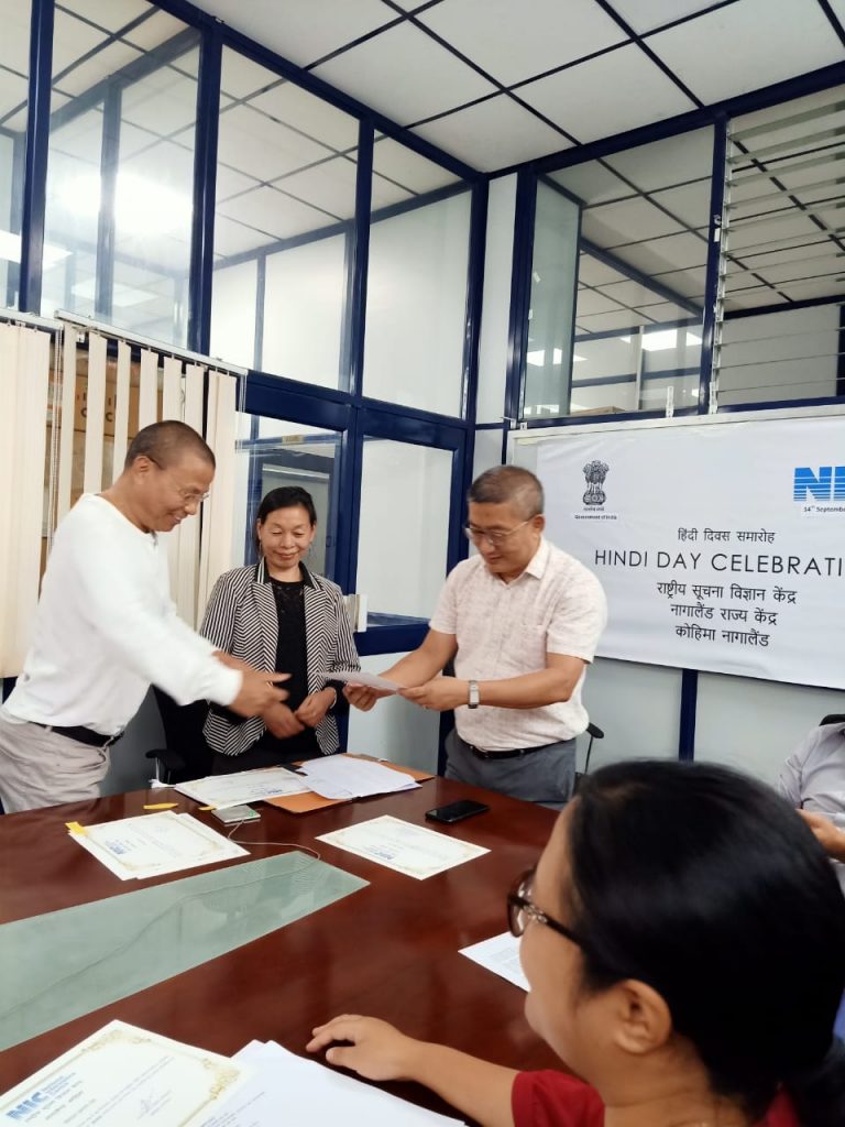
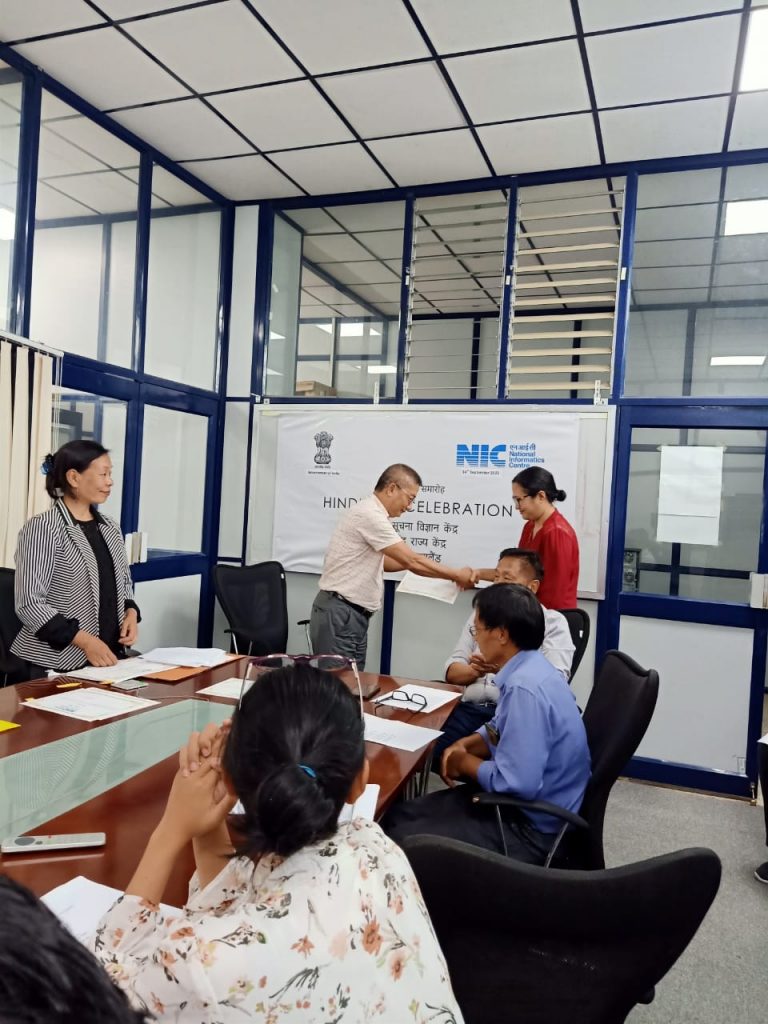
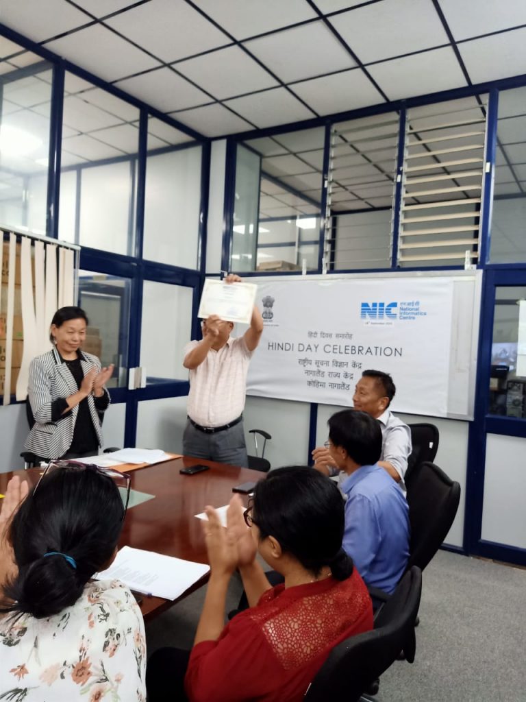
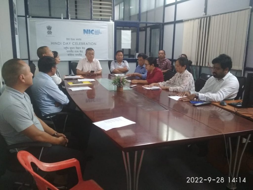
NIC Nagaland Celebrated Hindi Fortnight 2022
NIC Nagaland participated in the “Hindi Fortnight 2022” along with the rest of the Country . NIC Nagaland celebrated it…
Vigilance Awareness Week from 26th October to 1st November 2021.
Along with rest of the country, NIC Nagaland State also observed the Vigilance Awareness Week from 26th October to 1st…
Awards
Sorry, we could't found any records.
Photo Gallery
Ministry of Electronics & IT, GoI
National Informatics Centre
Nagaland State Centre,
CB-IIIF-02, New Secretariat Complex,
Kohima
Nagaland-797004
Phone: 0370-2270022/23